
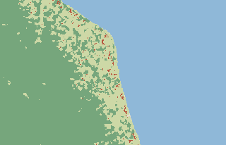
 21.22° S 159.73° WVillage
Matavera
Rarotonga
Cook Islands · Oceania
1K CK
CKPackTheWorld
Village · PackTheWorld
Matavera, Cook Islands
- Region
- Rarotonga
- Country
- Cook Islands
- Continent
- Oceania
- Coordinates
- 21.22444° S, 159.73333° WGoogle Maps · OpenStreetMap
Matavera (Rarotonga, Cook Islands) has 1,018 inhabitants according to GeoNames. Ranked 4 of 51 by population in the country. 5 km from Avarua. Larger cities nearby: Pue (3 km), Avarua (5 km).
- Population
- 1,018 · GeoNames
- Rank in the country
- 4 of 51
- Rank in the region
- 2 of 4
- Capital
- Avarua · 5 km
- Inhabitants
- 1K
- Views
- 27 · 0 favorites
- Copies
- 1 · 1 player
- For sale
- 0
Value
- Last sale
- -
- Discard value
- 5
Buy orders
No buy orders yet.
Rarotonga